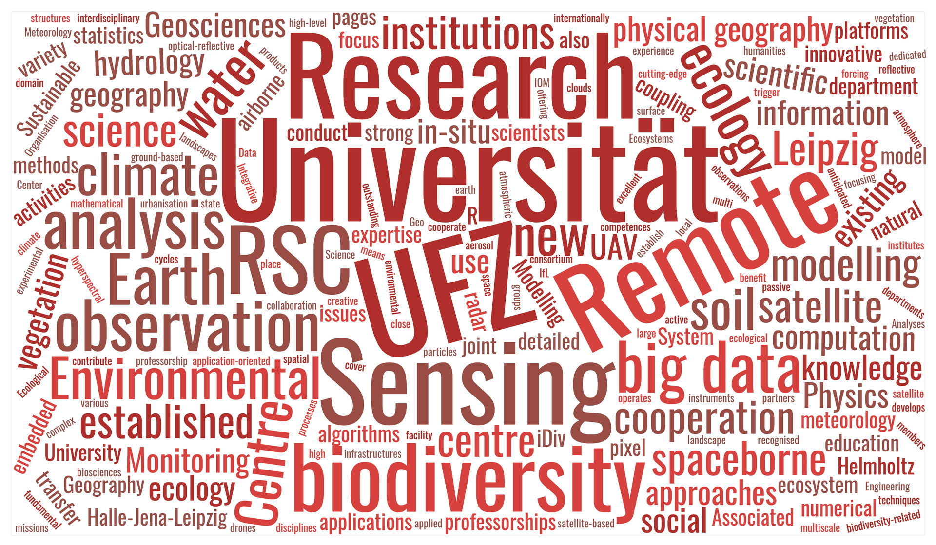
The Remote Sensing Centre for Earth System Research (RSC4Earth) is a joint institution of the Leipzig University and the Helmholtz Centre for Environmental Research (UFZ). The RSC4Earth bundles Leipzig's research activities in the field of remote sensing in earth system sciences and biodiversity research. In particular, we investigate the dynamics of ecosystems and water resources in global change across spatial and temporal scales.
Research Foci
In its research activities, RSC4Earth focuses on answering the following questions:
- How do geosystems and ecosystems respond to fundamental environmental changes and social transformation processes on multiple spatio-temporal scales?
- How can we quantify relationships between biodiversity and ecosystem functions on local to global scales?
- What methodological developments enable an improved understanding of spatio-temporal change in the water, energy and carbon cycles?
- How can we use remote sensing and modelling approaches to deepen our understanding of the Earth system?
This involves the use of remote sensing techniques ranging from field spectroscopy and UAV-based imaging to the analysis of data from global satellite systems. The analysed data streams require methods of "big data science" to enable efficient processing and analysis.


. Image: Michael Seidel")
