The research profile in the field of earth system sciences at our faculty includes a wealth of individual research achievements and diverse research foci. Find out here about the main research areas of the earth system sciences institutes and the Remote Sensing Centre for Earth System Research.
Institute for Meteorology
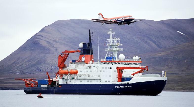
- Arctic amplification
- Microphysics and dynamics of clouds and their influence on atmospheric radiation
- Aerosol–cloud–precipitation–radiation interactions (indirect aerosol effects)
- Synergy of remote sensing measuring devices in atmospheric research
- Development of atmospheric remote sensing algorithms
- Parameterisation of cloud processes in climate models
- Satellite observations
- Global climate change
- Dynamics of the mesosphere and lower thermosphere as well as the thermosphere–ionosphere system
- Coupling processes between atmospheric layers
Institute for Earth System Science and Remote Sensing
- Theoretical seismology
- Earthquake monitoring in Central Germany
- Near-surface seismic and electrical methods
- Continental drilling programme: Eger Rift
- Seismological array methods
- Carbonate sedimentology and paleoclimatology of the Cenozoic: shallow marine carbonates and coral reefs, coral sclerochronology
- Paleontology and biofacies
- Micropaleontology, especially ostracods
- Dynamics of wet and dry phases over the last 200,000 years in North Africa and the Arabian Peninsula
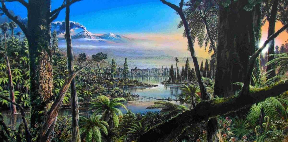
- Cenozoic Antarctic glaciation history
- Methodology: Thin section petrography (microfacies, diagenesis), isotope geochemistry (oxygen and stable carbon isotopes), geochemistry (major and trace elements), X-ray densitometry
Institute for Geography
- Remote sensing of geo- and ecosystems, hyperspectral analysis of the soil–plant system
- Coupling of remote sensing data (reflective, thermal) with hydrological models
- Methodological development of remote sensing evaluation and analysis methods, data blending and machine learning methods
- Uncertainty and insecurity
- Geographical food system research
- Urban development and financialisation dynamics
- Youth and the future of work
- Markets in the context of neoliberalism and post-growth movements
- Urban utopias (including the right to the city, movement research, transition town, transformative city)
- Appropriation and displacement processes in urban spaces, contested spaces
- The earth system in global change
- Climate impact research and analysis of georisks
- History and development of river landscapes
- Research on drylands and desert margins
- Anthropogenic driving mechanisms in environmental systems
Remote Sensing Centre for Earth System Research
- Remote sensing of terrestrial ecosystems and the atmosphere
- Analysis of the global change in the earth system
- Recording and monitoring of patterns of biodiversity
- Remote sensing-based and spectroscopic analysis of the soil–plant system
- Remote sensing of the water cycle, coupling remote sensing data with hydrological models
- Data-driven research in the earth system
- Methodological development of remote sensing evaluation and analysis methods, data blending and machine learning methods

