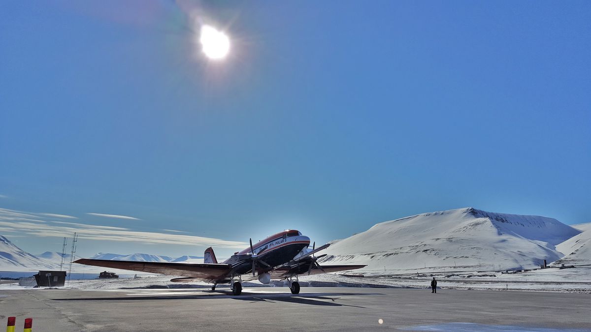
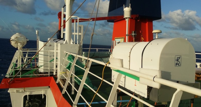
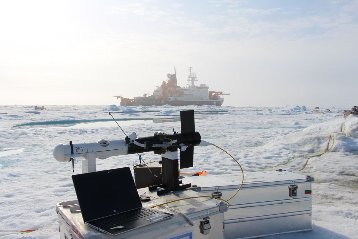
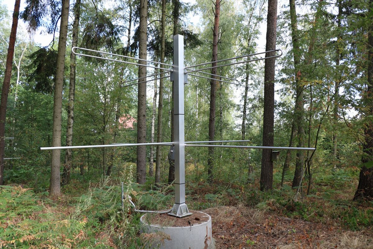
At the Leipzig Institute of Meteorology we use global climate and weather models but also airborne, ground-based observation data as well as satellite data. The data are gained with airborne and ground-based observation measuring equipment to study the processes that govern the weather and climate in the troposphere, middle and upper atmosphere.
Airborne and Ground-Based Observations
We apply spectral and multi-band imaging and non-imaging techniques:
- SMART-Albedometer
Spectral Modular Airborne Radiation measurement system
COmpact Radiation Measurement System (ground-based version of the SMART-albedometer) - Imaging sprectrometers
AisaEAGLE
AisaHAWK - Polarization camera
SALSA - Imaging thermal infrared cameras
VARIOSCAN 3021 ST, XENICS GOBI-640-GIGE

These airborne and ground-based instruments are used to:
- measure the solar and terrestrial radiation, and
- to study the effects of clouds and surface propoerties on the atmospheric radiation budget.
We use active remote sensing techniques (cloud radar, rain radar, wind-lidar), and a passive microwave radiometer.
- Active remote sensing techniques
Cloud radar – 94 GHZ FMCW Doppler Cloud Radar (LIMRAD94)
Micro rain radar – MRR-PRO (LIMRAD24)
Doppler-Lidar – Leosphere Doppler Wind Lidar (LIMCUBE)
Doppler-Lidar – Stream Line XR
Lidar – Ceilometer 15K - Passive remote sensing techniques
Mirkowellenradar – Humidity and Temperature Profilers (HATPRO)
Laser precipitation monitor

Active and passive remote sensing techniques are applied to quantify highly-resolved atmospheric properties of e.g., clouds, precipitation, water vapour, and wind.
- Climatological observations of the middle atmosphere
VHF meteor radar - Precipitation observation
Video InSitu Snowfall Sensor
Satellite-Based Observations
To study global atmospheric linkages we use data of:
- geostationary, and
- polar-orbiting satellite observations.
Based on these measurements, remote sensing products are derived which characterize aerosol and cloud properties.
For example, state-of-the-art retrievals of concentrations of cloud condensation nuclei and ice nucleating particles were developed.
Climate Models
We work with different climate and weather models
- to describe cloud and aerosol processes in the troposhere, and
- to analyze the dynamics of the middle and upper atmosphere.
For that purpose, we use computational capacity at our institute, but also at the German Climate Computing Center (DKRZ).

